How can participatory development between the city and its communities activate vacant spaces for productive use?
-
Community Tools
THIS SHOULD BE
This Should Be responds to The City of Gainesville's initiative
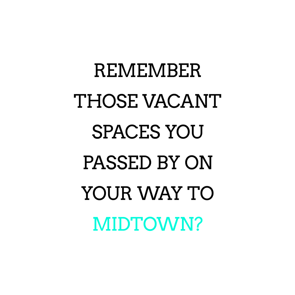
to activate vacant lots and abandoned storefronts in the city, especially between well-trafficked areas (such as between downtown and the University of Florida). This Should Be is an extended creative mapping project in Gainesville, Florida that aims to make public information transparent and accessible, and to organize it in a way that aids a community purpose. It will be an interactive and collaborative online resource that communities can use to discover spaces, resources, and assistance available to them, so that they can begin to activate vacant spaces within their neighborhoods. The main question this project seeks to answer is: what are the city’s priorities, what are communities’ priorities, and how can they come together to activate a vacant space for productive use?
This Should Be will compile and compare community knowledge of vacant spaces with city data to ground truth in the information. The outcome will be the creation of an accurate, accessible, and up-to-date online map that will also allow neighbors to communicate online about what they’d like to see in a space in order to make it easier to reach a critical number. The interactive map will be supplemented by other necessary information such as ideas for what could occur in a space, zoning, government officials to contact, and more, so that neighbors can begin the process. The hope is that development becomes more democratic and participatory, giving agency to residents to have some say in what changes occur in their neighborhoods.
View the project proposal in its entirety here.
(Prospective) Client /
City of Gainesville
Role /
Designer
Researcher
Collaborators /
Andres Lazo
Year /
2017 - current
Methods /
Case Studies
Interviews
Touchpoint Analysis
Steps Shown Here /
1. Research
2. UX/UI Design
3. Campaign Design

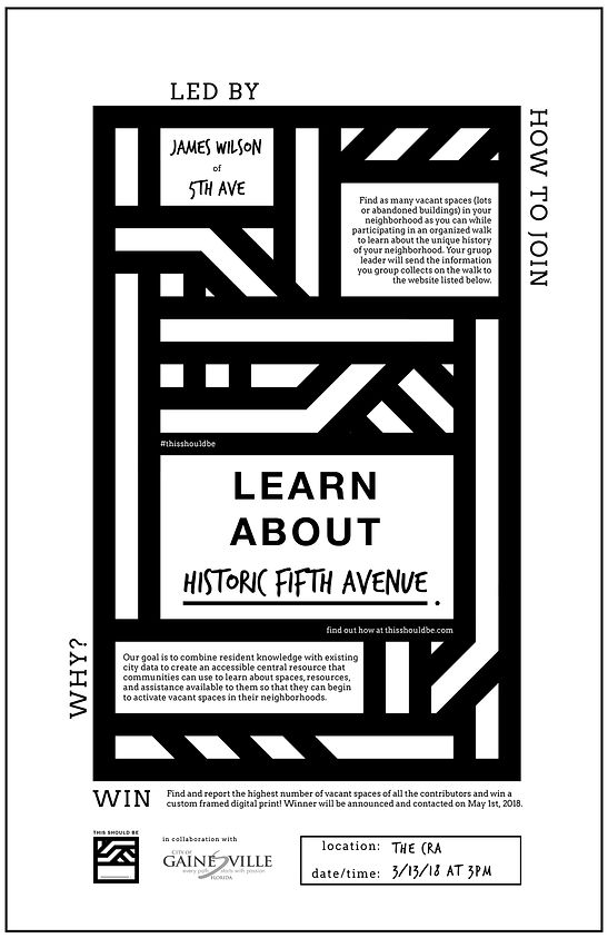
Final Campaign: Poster
-
The branding emerged from ideas of weaving (of city and community information), contrast (between two distinct systems of knowledge), and
negative space (carving blank/vacant spaces within the stripes).
The poster seeks to gamify the process of reporting vacant spaces with titles like "your mission," "how to play," and "how to win," and by offering a prize to the whoever reports the highest number. The center of the poster is a tear-off sticker (see photo below) that participants can take with them and fill in the blank when they find a vacant space.
11"x17" digital print

Final Campaign: Sticker
-
When the participant fills in the blank of what they think "this should be," and "tags" the space by attaching the sticker to a fence, tree, or structure with their response, others who pass by this vacant space will be prompted to reconsider that space. Maybe it becomes apparent to them that the space could host a more productive neighborhood use.
6"x6" printed stickers

Final Campaign: Bike Note
-
These prompt stickers are also attached to cardstock notes meant to be placed between the spokes of parked bicycles in the city. The target audience of these stickers are residents who live in areas with high concentrations of vacancies, as well as anyone who cycles or walks frequently, as their pace through their surroundings becomes leisurely enough to notice the poster and notes and participate by tagging a vacant space.
6"x6" cardstock with detachable sticker

Final Campaign: Bike Note
-
6"x6" cardstock with detachable sticker
reverse side of bike note

Final Campaign: Mailbox Flier
-
Mailbox fliers would be distributed at the neighborhood level. Bundles of trifold fliers would be distributed to neighborhood leaders/activists to pass out and place in well-trafficked neighborhood spots.
8.5" x 11" digital print

Final Campaign: Crosswalk Chalking
-
High-traffic crosswalks would be written on with chalk to grab passersby's attention.

Final Campaign: Crosswalk Chalking
-
Text would direct passersby to the initiative's website and hashtag to find out more.

Final Campaign: Website
-
The website will provide more detailed steps on how to participate, information about the initiative, case studies of similar projects that have benefitted other US cities, and events that would be hosted to boost neighborhood participation.
Final Campaign: Events
-
Organized walks would be held in neighborhoods around the city. Leaders would guide the walks and discuss the history of the neighborhood and what makes it unique. Along the way, participants keep an eye out for vacant spaces, which they report to the group leader. The leader will then submit these reported spaces to the website.

Final Campaign: Events
-
Block parties would also occur in neighborhoods around the city.

Outcomes
-
This project is currently ongoing. The poster/sticker prototypes have been developed but have yet to be printed in bulk and distributed to community activists and within non-transient neighborhoods that have rooted interest in equitable neighborhood development. This Should Be seeks to aid in The City of Gainesville's mission of activation, and ensure communities' agency over changes in their neighborhoods.
-
Selected Research & Process

Existing Data Visualization
-
While researching, I met with several governmental-related entities, including the Community Redevelopment Agency (CRA), and was surprised at how siloed information on how to address vacant spaces was. No one entity could provide the complete information needed to begin transforming a space legally, such as last known owner and city representatives responsible for a specific parcel.
-
CRA vacant property map (currently not available to the public)
First Poster Iterations
-
Not only is the city data full of jargon, but it is also often outdated. While continuing to investigate the legalities of restoring a space to better community use, I began working on a campaign for residents to be able to easily report vacant spaces in their neighborhoods. By combining residents' expert knowledge of their neighborhoods with existing city data in an online interactive map, could the process of participatory development become more accessible?
Selected Poster Process
-
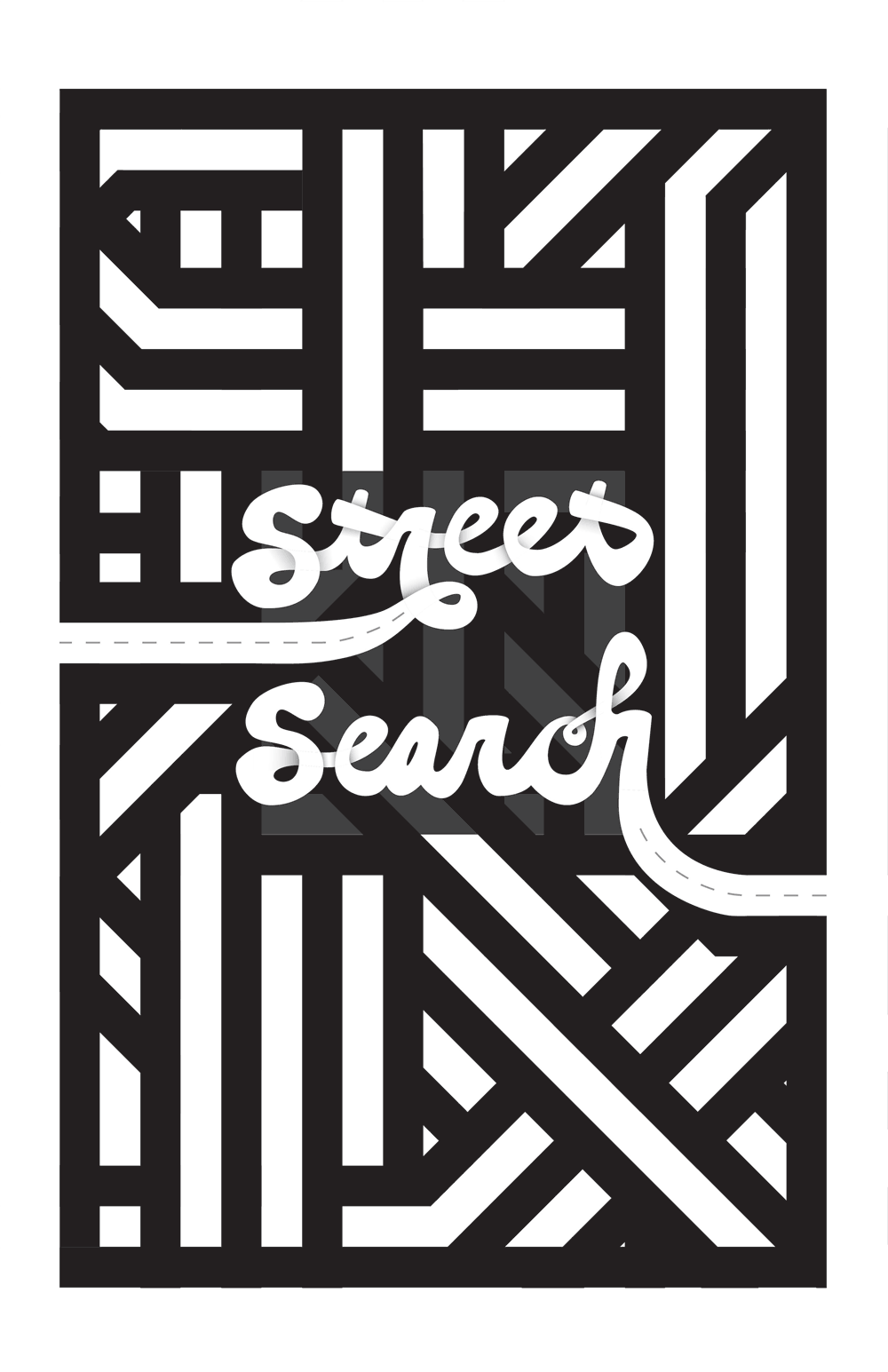
The initial campaign name, Street Search, refers to becoming more aware of your urban surroundings and using that awareness to start to influence positive change within your neighborhood.


-
images above and below: Property Appraiser search
note that this particular lot has been vacant since at least 2008
Existing Public Data
-
The information all exists and, even better, is public, but it is so full of jargon and dispersed across so many different governmental agencies that it is impossible for the average citizen to piece together in a reasonable amount of time.